Mont Saint-Michel Tides Explained: When the Sea Comes Back
The short answer. The bay swings about fourteen metres between low and high water, the largest range in continental Europe. A French tide coefficient from 20 to 120 tells you how big any given tide will be, it is published a year ahead, and above about 100 the sea can surround the rock completely. Never walk on the sand without a licensed bay guide. Departures that leave you time to watch it are on Mont Saint-Michel Tours.
Fourteen metres, and what that looks like
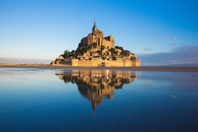
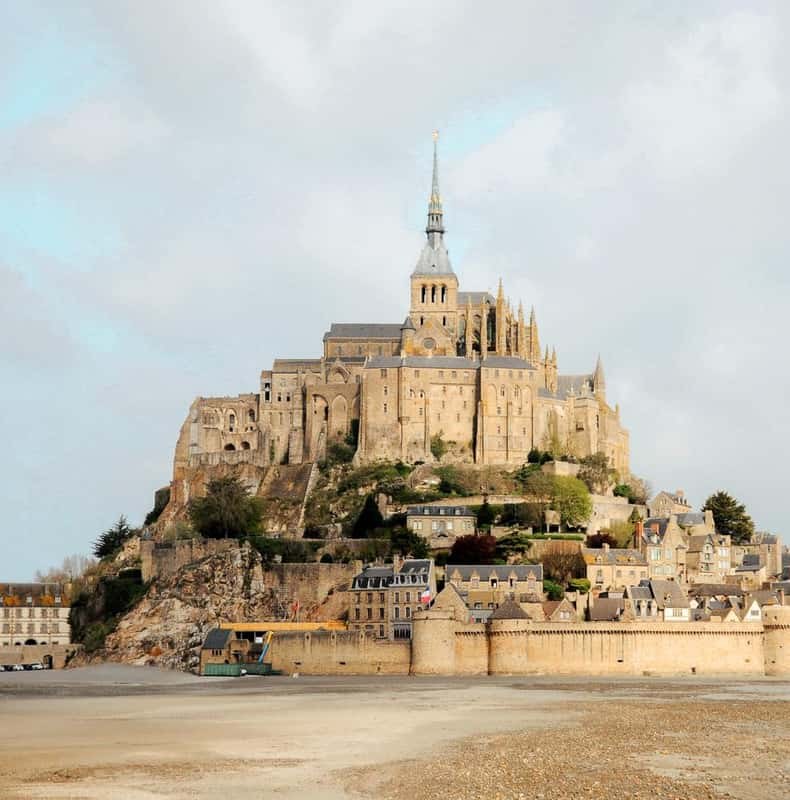
At low water the sea withdraws several kilometres. The Mont stands in the middle of a plain of wet sand you could walk across, if walking across it were safe. At high water on a strong tide the sea comes back over that same ground to the foot of the ramparts. The height difference between those two moments is roughly a four-storey building, and it happens twice a day, every day.
Everything else about this place follows from that number. The pilgrimage route across the sands. The quicksand. The monastery that could not be stormed. The causeway that had to be demolished in 2014 because it was stopping the tide doing its work.
How to read a tide coefficient
French tide tables publish a coefficient rather than a height. It runs from about 20 to 120 and tells you how big a particular tide will be relative to the average. It is astronomy, not weather, so it is fixed years in advance and you can plan around it.
| Coefficient | What you see | Worth timing for? |
|---|---|---|
| Under 70 | The sea stays distant all day | Only for the widest sands |
| 70–90 | The tide visibly returns across the bay | Yes |
| 90–100 | Water reaches close to the ramparts | Yes |
| Above 100 | The esplanade can flood; the rock can be surrounded | This is what people book months ahead for |
What each band actually produces at Mont Saint-Michel.
The biggest tides of any year cluster around the March and September equinoxes and the new and full moons closest to them.
When the Mont is an island again
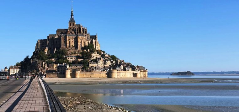
Only a handful of days a year. It needs a very high coefficient to cover the ground on both sides of the crossing, and when it happens it is the photograph everyone wants. The 2014 Pont-passerelle stands on slender piles precisely so water can pass beneath it rather than pile against it, which is why you can still walk out while the ground either side is under water. What floods is the esplanade at the entrance, and it drains in about an hour.
Arrive about two hours before high water. Watching the sea come in is the point; standing there at the peak means you missed it arriving.
The mascaret
Ahead of a strong incoming tide a low wave runs up the Couesnon estuary against the current. It is called the mascaret, or tidal bore. It arrives well before high water rather than at it, which is why people who turn up at the published high-tide time often miss it. The dam on the Couesnon and the bridge are the two places to stand.
Tide times here are Saint-Malo’s
Published tide times for the bay are based on SHOM’s figures for Saint-Malo, and the tourist office asks you to add about five minutes. It is a small correction and it only matters if you are trying to be somewhere at a particular moment. For the biggest tides, that is exactly what you will be doing.
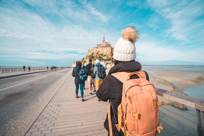
The bay is dangerous, even immediately around the Mont. The tourist office’s own visitor map says so in plain words, and the danger is quicksand as much as the speed of the water. Licensed bay guides run crossings on foot from both shores and that is the way to do it — the tide page has the detail, and the bridge is free and open at all hours if you would rather stay on a walkway.
Planning a visit around it
Most organised departures reach the island in the middle of the day, so the tide you get is whichever one happens to be running. One traveller on a two-day trip wrote afterwards that the schedule put her at the Mont at low water and she never saw it surrounded by the sea. If that picture is why you are going, check the coefficient for your date first, then pick a departure that arrives at the right end of the day. The timing guide runs the tide and the abbey’s seasons together.
Where to stand
Three places, and they suit different tides:
- The Pont-passerelle. Water level, the Mont ahead of you, and the best place to be when a big tide surrounds the rock.
- The dam terrace on the Couesnon. Where the mascaret arrives, well before high water.
- The west terrace, at the top of the abbey. Ninety metres up, with the whole property laid out. You need a ticket and you need to be inside before last admission.
What the tide did to the bay
A solid causeway built in 1879 stopped the tide scouring sand out of the bay twice a day, and the Mont slowly began silting into the mainland. Removing it, building the bridge and adding a hydraulic dam on the Couesnon cost around €209 million. The bay page tells that story properly.
The point of all that money was not the view. It was to keep the bay a working tidal system, because a bay that silts up stops being one. Sediment that used to be flushed out twice a day was settling against the embankment, salt marsh was advancing, and the rock was on its way to becoming a hill in a field. The bridge on piles and the dam on the Couesnon between them put the scouring back.
Frequently asked
When does Mont Saint-Michel become an island?
Only on the biggest tides, a handful of days a year, when the sea covers the car park causeway and surrounds the rock completely. The 2014 bridge stands on piles so the water can pass beneath it rather than damming the bay.
Can I walk across the sand to Mont Saint-Michel?
Only with a licensed bay guide. The tourist office’s own map states that the bay is dangerous even immediately around the Mont, because of quicksand as much as the tide, and guided crossings exist precisely for that reason.
What is a tide coefficient?
A French scale from about 20 to 120 that measures how big a given tide will be. Anything above 90 is a strong tide; the highest of the year sit around 105 and are the ones that draw crowds to the bridge.
Tours that fit this trip
Departures that leave you enough of the day to watch the water do something.